1st ACM SIGSPATIAL International Workshop on

Geospatial Knowledge Graphs (GeoKG 2022)

November 1st (Tuesday) 2022, Seattle, Washington, USA

About

Knowledge graphs are not merely a set of technologies, but a novel paradigm for representing, retrieving, integrating, and reasoning data from highly heterogeneous and multimodal sources. Knowledge graphs (KGs) have become a core component of modern search engines, intelligent personal assistants, and business intelligence within just a few years. However, despite large-scale data availability, KGs have not yet been as successful in the realm of environmental and geospatial studies. Geospatial knowledge graphs (GeoKGs), as symbolic representations of spatial entities, their attributes, and the relations among them, bring together Geographic Information Science (GIScience), Cognitive Science, and Artificial Intelligence (AI) to help facilitate many geospatial applications such as geographic question answering, geospatial interoperability, and geospatial knowledge discovery. Nevertheless, most existing data warehouses and associated techniques in KGs do not take into account the speciality of geospatial information so GeoKGs hardly achieves its full potential in geo-science and its downstream applications.

This half-day workshop aims to emphasize the importance of geospatial information and principles in designing, developing, and utilizing geospatial knowledge graphs and other geospatial AI techniques. It will include keynote speakers, individual presentations, as well as a panel discussion at the end.

Call for Papers

We invite researchers from disparate disciplines (e.g., environmental studies, GIScience, AI, cognition, supply chain, humanities, etc.) to submit papers in the following three formats. All submitted papers will be peer-reviewed by our Program Committee (PC). Manuscripts should be submitted in PDF format and formatted using the ACM camera-ready templates available at http://www.acm.org/publications/proceedings-template. Submissions will be single-blind (the names affiliations of the authors should be listed in the submitted version). Papers should be submitted at: https://easychair.org/conferences/?conf=geokg2022

Paper formats:
  • Full research paper: 8-10 pages
  • Short research paper or industry demo paper: 4 pages
  • Vision or statement paper: 2 pages
Topics include, but are not limited to:
  • Geospatial knowledge graph construction
    • Algorithms for geospatial knowledge graphs construction
    • Geographic knowledge graph benchmark
  • Geospatial ontology and reasoning
    • Ontologies to represent and reason over geospatial knowledge
    • Geo-ontology engineer and modularization
    • Spatiotemporal scoping of geospatial knowledge graphs
    • Spatial and temporal reasoning over graphs
  • Spatial data reuse and interoperability via knowledge graphs
    • Geographic entity coreference resolution
    • Geo-ontology alignment
  • Machine Learning on geospatial knowledge graphs
    • Geospatial knowledge graph embeddings
    • Spatiotemporally-explicit machine learning on graphs
  • Query geospatial knowledge graphs
    • GeoSPARQL and spatial query evaluation
    • Efficient indexing for querying geospatial knowledge graph
    • Spatial query benchmark
    • Approximate query processing on knowledge graphs
  • Geospatial knowledge graph applications on natural language processing
    • Knowledge graph-enabled geographic question answering
    • Geographic entity linking and disambiguation
    • Augmented large language model learning with geospatial knowledge graphs
  • Efficient and effective knowledge graph storage and access
    • Privacy, authorization, and authentication in geospatial knowledge graphs
    • Retrieval and access via geospatial knowledge graphs
  • Visualization
    • (Geo)Visualization of knowledge graphs
    • Geo-ontology visualization
  • Applications of geospatial knowledge graphs
    • Disaster management and response
    • Urban studies
    • Crime analysis
    • Supply chain management

Important Dates

  • Paper submission deadline: August 22nd, 2022 August 29th, 2022 September 9th, 2022
  • Notification of paper acceptance: September 21st, 2022
  • Camera ready version: October 10th, 2022
  • Workshop date: November 1st, 2022

Keynote Talk

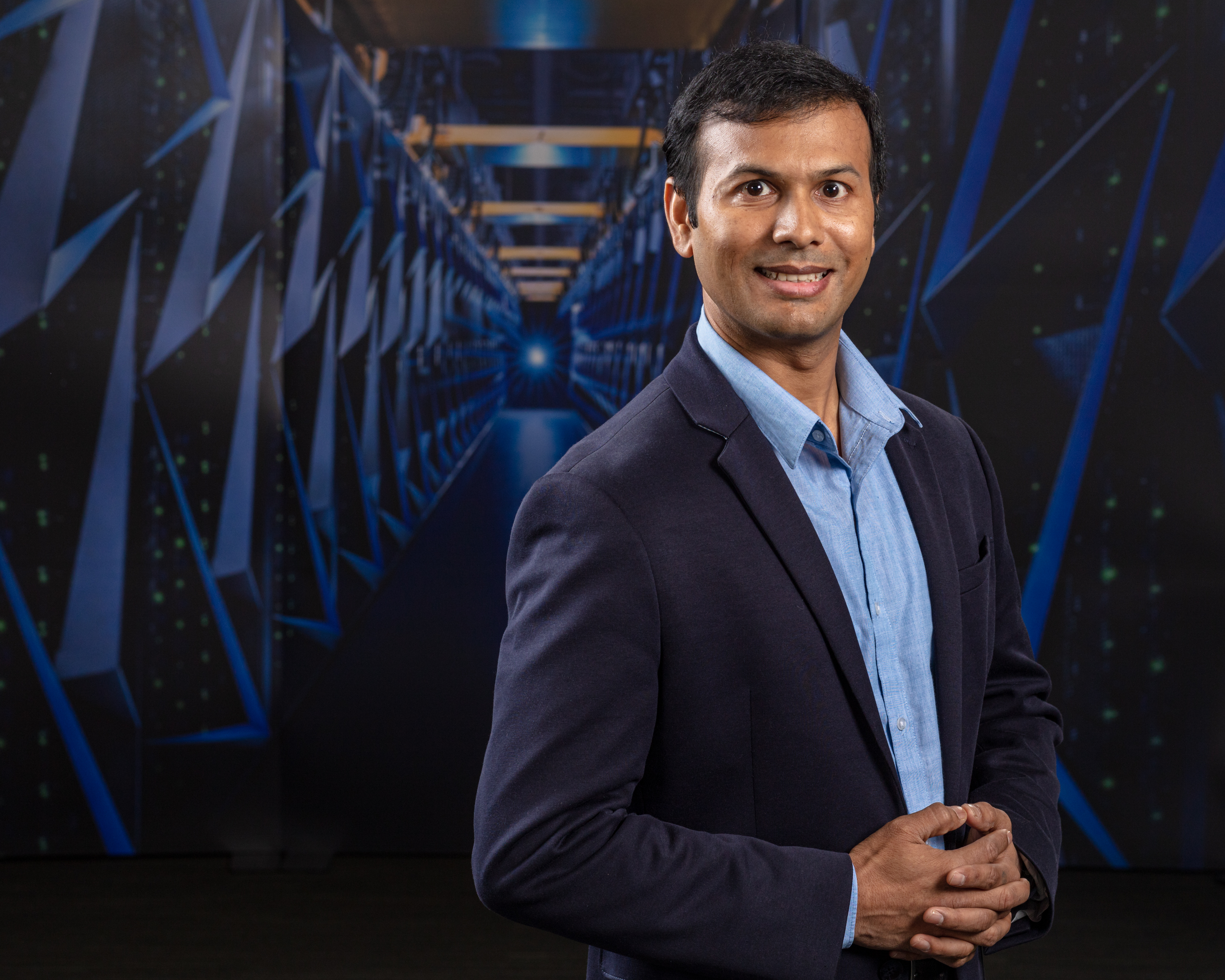
Craig A. Knoblock,

University of Southern California, USA

----------------------------------------------------------------------------------------------------
----------------------------------------------------------------------------------------------------
Craig-Knoblock

Building Spatio-temporal Knowledge Graphs from Historical Maps

Abstract: Historical maps provide a rich source of information for researchers in many areas, including the social and natural sciences. These maps contain detailed documentation of a wide variety of natural and human-made features and their changes over time, such as changes in transportation networks or the decline of wetlands or forest areas. Analyzing changes over time in such maps can be labor-intensive for a scientist, even after the geographic features have been digitized and converted to a vector format. Knowledge Graphs (KGs) can be used to store and link such data and support semantic and temporal querying to facilitate change analysis. KGs combine expressivity, interoperability, and standardization in the Semantic Web stack, thus providing a strong foundation for querying and analysis. In this talk I will present our approach to taking historical maps of a region and turning them into a contextualized spatio-temporal knowledge graph. This process starts with a set of scanned maps covering the same region over multiple years, extracts the relevant features from the maps to construct a vector representation, and then converts the vector representation across multiple maps into a knowledge graph. The resulting graphs can be easily queried and visualized to understand the changes in different regions over time. We evaluated our techniques on railroad networks and wetland areas extracted from the United States Geological Survey (USGS) historical topographic maps for several regions over multiple map sheets and editions.

Bio: Craig Knoblock is the Keston Executive Director of the Information Sciences Institute, Research Professor of both Computer Science and Spatial Sciences, and Vice Dean of Engineering at the University of Southern California. He received his Ph.D. from Carnegie Mellon University in computer science. His research focuses on techniques for describing, acquiring, and exploiting the semantics of data. He has worked extensively on source modeling, schema and ontology alignment, entity and record linkage, data cleaning and normalization, extracting data from the web, and combining these techniques to build knowledge graphs. He has published more than 400 journal articles, book chapters, and conference and workshop papers on these topics and has received 7 best paper awards on this work. He also co-authored a recent book titled Knowledge Graphs Fundamentals, Techniques, and Applications, which was published in 2021 by MIT Press. Dr. Knoblock is a Fellow of the Association for the Advancement of Artificial Intelligence (AAAI), the Association of Computing Machinery (ACM), and the Institute of Electrical and Electronic Engineers (IEEE). He is also past President of the International Joint Conference on Artificial Intelligence (IJCAI) and winner of the Robert S. Engelmore Award.

----------------------------------------------------------------------------------------------------

Program

14:00-14:05 : Opening

14:05-15:05 : Keynote: Building Spatio-temporal Knowledge Graphs from Historical Maps
Craig A. Knoblock, Vice Dean of Engineering, University of Southern California .

15:05-15:25 : Finding Map Feature Correspondences in Heterogeneous Geospatial Datasets (Full Paper)
Abhilshit Soni, Applied AI & ML Group, HERE Global B.V., Mumbai, MH, India;
Sanjay Boddhu, Applied AI & ML Group, HERE Global B.V., Chicago, IL, USA

15:25-15:40 : Developing Knowledge Graph Based System for Urban Computing (Short Paper)
Yu Liu, BNRist, Department of Electronic Engineering, Tsinghua University, Beijing, China;
Jingtao Ding, Department of Electronic Engineering, Tsinghua University, Beijing, China;
Yong Li, Department of Electronic Engineering, Tsinghua University, Beijing, China

15:40-16:05 : Break

16:05-16:20 : Towards a Representation of Uncertain Geospatial Information in Knowledge Graphs (Vision Paper)
Lucie Cadorel, Université Côte d’Azur, Inria, CNRS, France;
Andrea G. B. Tettamanzi, Université Côte d’Azur, Inria, CNRS, France;
Fabien Gandon, Université Côte d’Azur, Inria, CNRS, France

16:20-16:40 : Measuring Network Resilience via Geospatial Knowledge Graph: a Case Study of the US Multi-Commodity Flow Network (Full Paper)
Jinmeng Rao, Geospatial Data Science Lab, University of Wisconsin-Madison, Madison, USA;
Song Gao, Geospatial Data Science Lab, University of Wisconsin-Madison, Madison, USA;
Michelle Miller, Center for Integrated Agricultural Systems, University of Wisconsin-Madison, Madison, USA;
Alfonso Morales, Department of Planning and Landscape Architecture, University of Wisconsin-Madison, Madison, USA

16:40-16:45 : Closing

Organizers

----------------------------------------------------------------------------------------------------
Krzysztof Janowicz

UC Santa Barbara, USA
University of Vienna, Austria

Rui Zhu

University of Bristol, UK

Gautam Thakur

Oak Ridge National Laboratory, USA

----------------------------------------------------------------------------------------------------
Krzysztof-Janowicz
Rui-Zhu
Gautam-Thakur
----------------------------------------------------------------------------------------------------
----------------------------------------------------------------------------------------------------
Xiaogang Ma

University of Idaho, USA

Ellie Young

Common Action, USA

Gengchen Mai

University of Georgia, USA

----------------------------------------------------------------------------------------------------
Xiaogang-Ma
Ellie-Young
Gengchen-Mai
----------------------------------------------------------------------------------------------------

Program Committee

  • Weiming Huang, Nanyang Technological University, Singapore
  • Shirly Stephen, University of California, Santa Barbara, USA
  • Dalia Varanka, United States Geological Survey, USA
  • Ling Cai, University of California, Santa Barbara, USA
  • Torsten Hahmann, University of Maine, USA
  • Manolis Koubarakis, National and Kapodistrian University of Athens, Greece
  • Cogan Shimizu, Wright State University, USA
  • Yingjie Hu, University of Buffalo, USA
  • Yao-Yi Chiang, University of Minnesota, USA
  • Wenwen Li, Arizona State University, USA
  • Meng Wang, Southeast University, China
  • Timo Homburg, Hochschule Mainz - University of Applied Sciences, Germany
  • Markus Stocker, TIB — Leibniz Information Centre for Science and Technology and Leibniz University Hannover, Germany
  • Xinyue Ye, Texas A&M University, USA
  • Simon Cox, CSIRO Land and Water, Australia